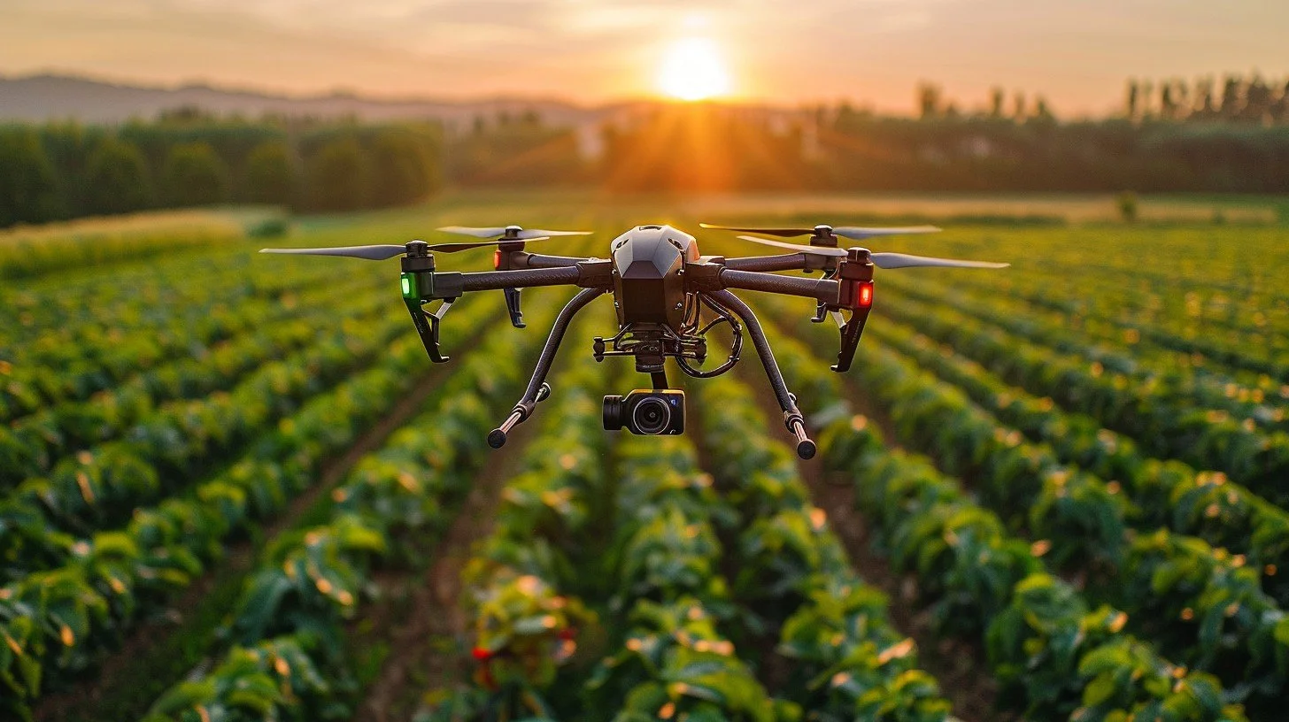
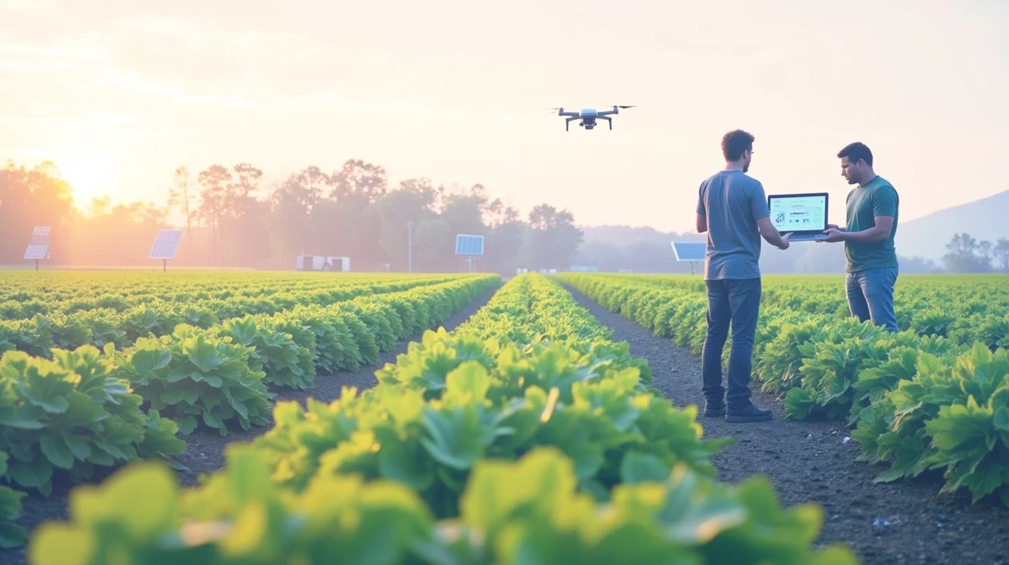
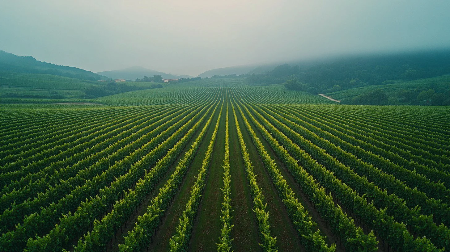
See Your Fields Differently
Unlock orchard insights through drone sensing, smart analytics, and in-field apps. Serving Washington’s orchards with actionable insights — without the learning curve.
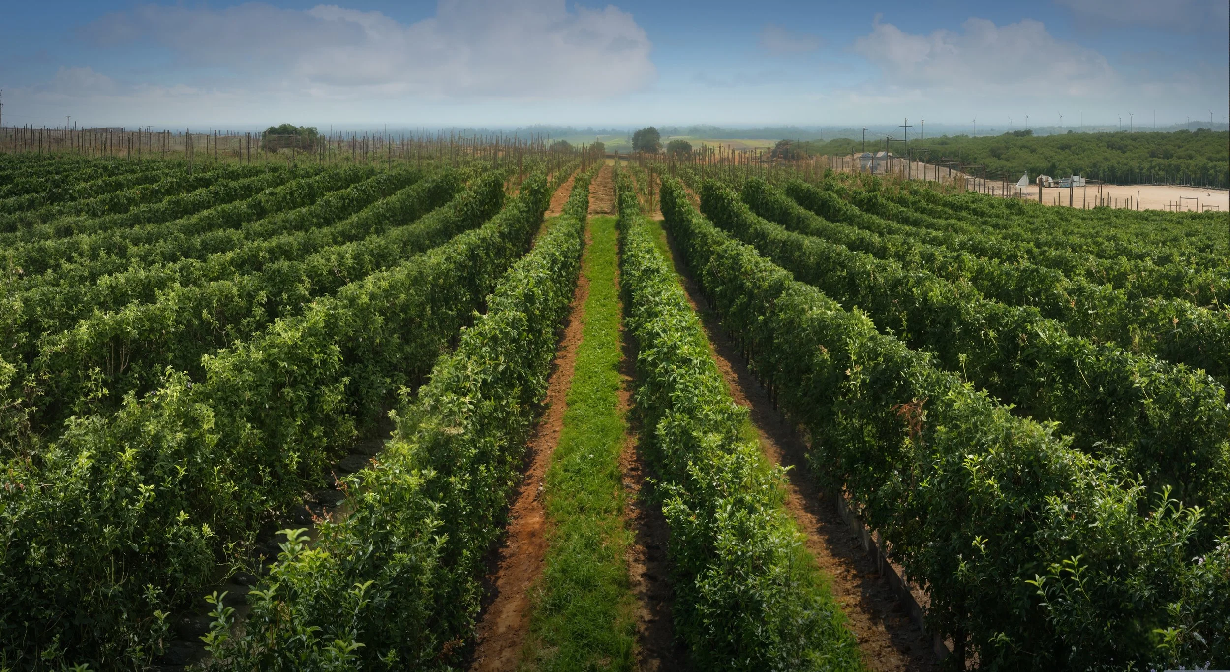
Problems We Are Addressing
Efficient Harvest Planning
Allowing growers to make more informed decisions
around yield prediction and labor planning.
Crop Load Management
Providing growers high quality data to help increase yield quality.
Introducing
Treelytics
An In-field App
for Orchard Intelligence
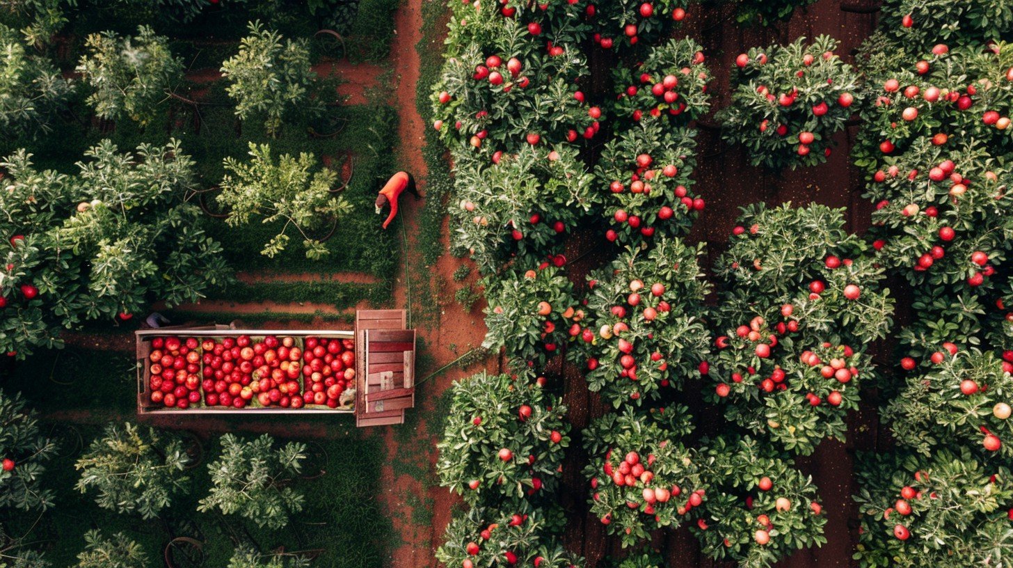
How We Do It
Transform drone imagery into actionable orchard intelligence
Generate per-tree metrics of fruit count, size, and color, as well as tree inventory of the orchard blocks
Use high-resolution imagery to allow AI and computer vision models to extract precise per-tree metrics
Use RTK technology to ensure highly precise (inch level) positioning for drone imagery of the orchard
Enable tracking of growth trends and forecasting through multiple scans over time
Treelytics is patent pending
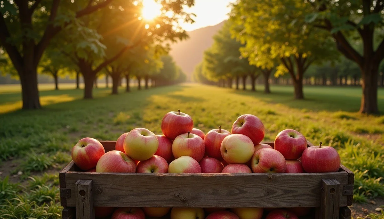
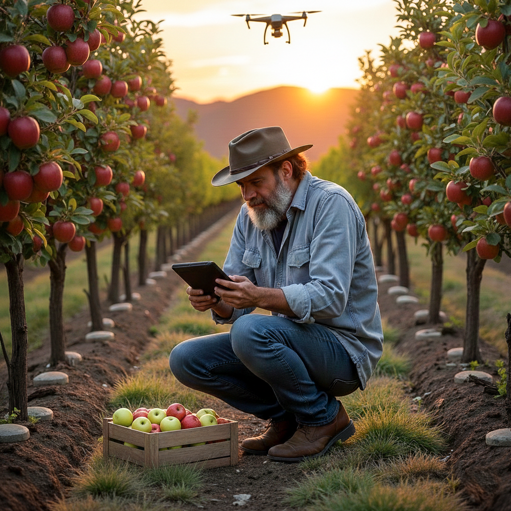
How It Works
We Fly – FAA certified drone pilots scan your orchard blocks
We Analyze – Computer Vision, AI and GIS tools extract per-tree metrics from the drone imagery
You Act – Utilize our Treelytics in-field app to walk up and inspect trees and rows of interest. Treelytics is proudly made
in the USA


About Us
Precision Agri Tech is a Washington-based Ag tech company that delivers drone-enabled tree level insights to orchards. We use high-resolution imaging, infrared sensing, and AI-powered analysis to support real-world decisions.
Contact Us
Interested in working together? Fill out some info and we will be in touch shortly.